lidar You are herei: Onlinelidar             Today is: 02-05-2024 | sei il visitatore numero: 4259
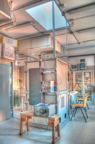
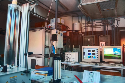
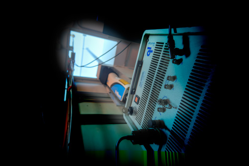
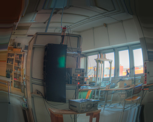
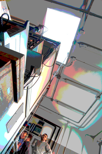
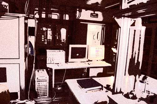
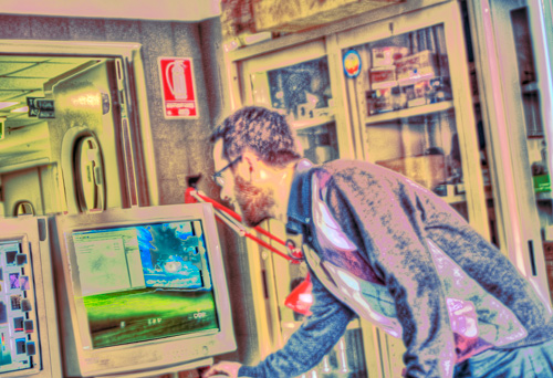
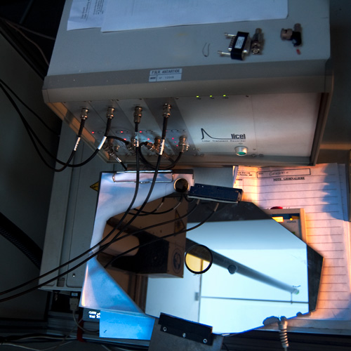
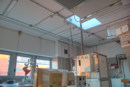
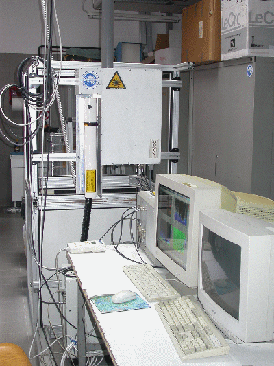
 | IFAC
bordotondo

The first Italian LIDAR online......Pages updated every 15 min

The INO CNR LIDAR

At present, the elastic-backscatter LIDAR, which was entirely designed and built  at IFAC in  2002,
is  operating 24 h / day. A pyrex window equipped with a  power window for the laser beam makes
the all-weather operation of the LIDAR possible. In the case of rain, the LIDAR signals are
obviously disturbed by the drops falling on the window, and must be considered useless. The LIDAR
software takes care of the acquisition of the LIDAR data and of the meteorological and
housekeeping data. The same software produces time-lapse daily videos from a night-vision webcam.
All the above data are pre-processed automatically, and  the colour plots for the WWW site are
automatically updated every 10 minutes. The  INO LIDAR is the first and sole online-LIDAR in Italy


The main specifications of the  LIDAR are as follows:


-Laser Quantel Brilliant B
(532, 1064 nm, linear pol.)

-Refractive telescope
10 cm diameter, f/3

- Licel Acquisition system,
analogic, 3 channels
(532 p, 532 s, 1064 nm)

-Vertical resolution: 7.5 m

-Measurement Range:
50 m-14000 m a.g.

-Depolarized channel

-1064 nm channel with
APD photodiode


Gallery:


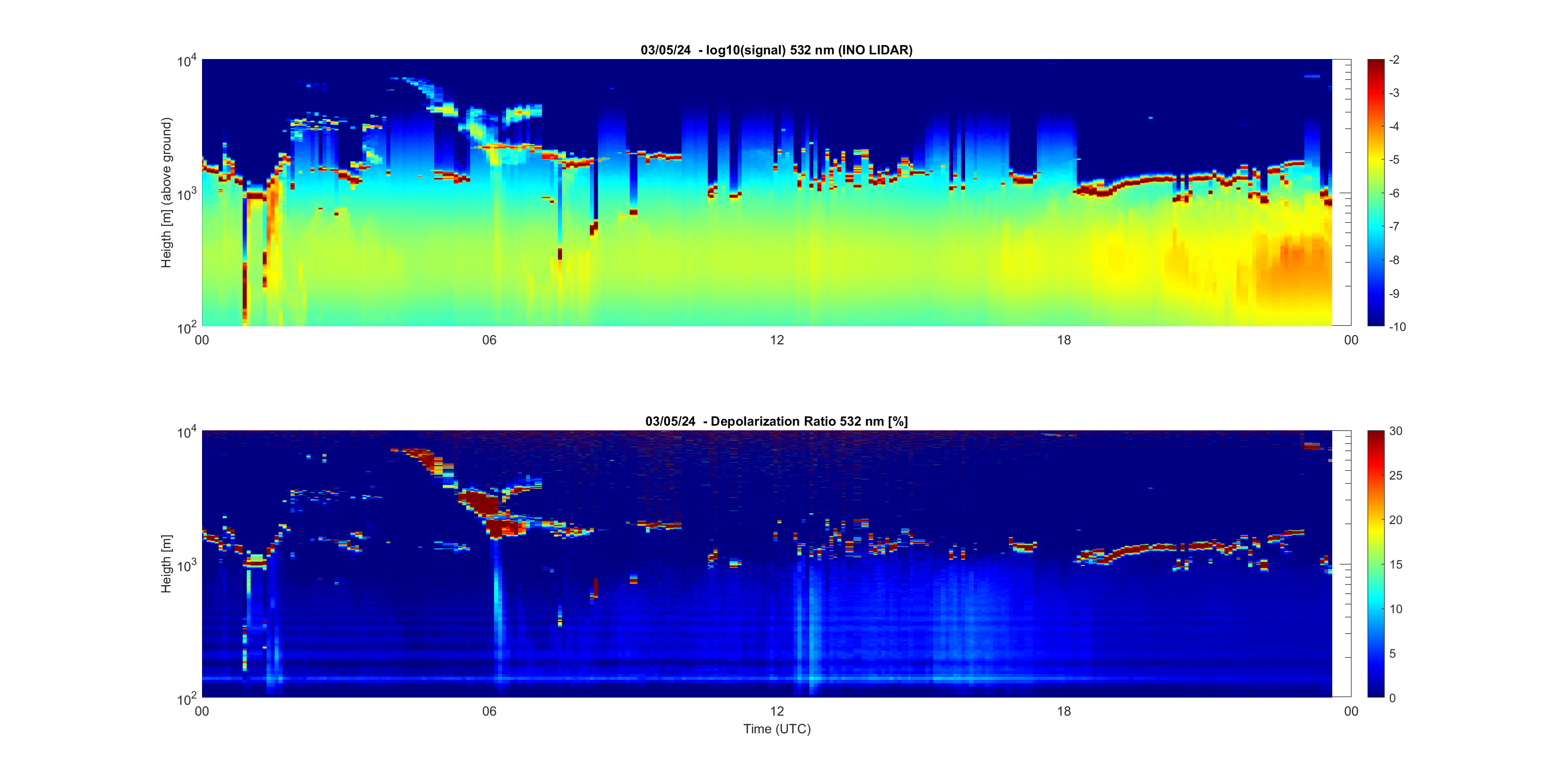
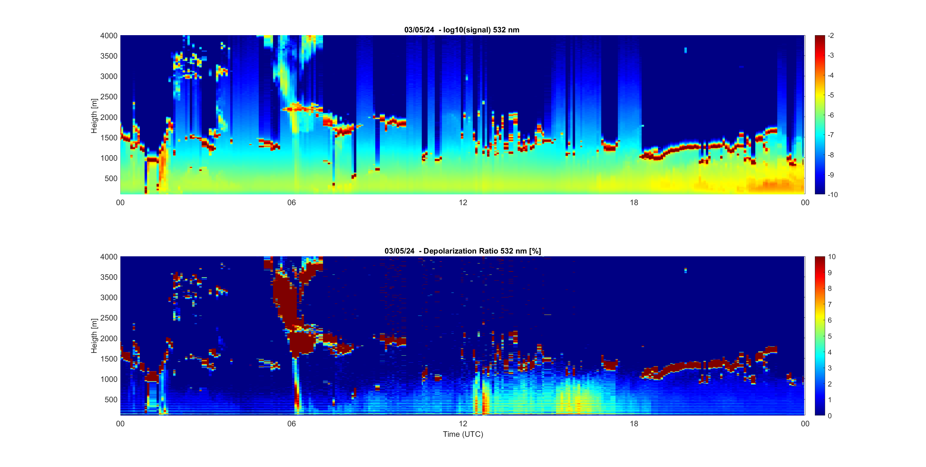
24 Hours of Tropospheric 532 nm LIDAR data


The LIDAR signal

In the Figure, starting from 0 UTC, we show the LIDAR sounding above Sesto Fiorentino (Florence). The horizontal scale represents time (UTC). The vertical scale represents altitude H.

 The false-colour scale represents the intensity of the backscattered laser light, corrected for the geometrical factor  H^2, in arbitrary units. The red- or yellow- coloured regions highlights layer with a light scattering that is larger than what might be  expected from a pure molecular atmosphere: clouds and aerosol layers are thus evidenced. In the case of rain, the colours may be altered. In these two first plots, the whole troposphere is shown, up to 14 km altitude

Here are a nice tutorial about LIDARs: P.S. Argall and R.J. Sica, Lidar (Laser Radar) and an extensive LIDAR Bibliography

LIDAR Depolarization

The previous figure showed only the presence of aerosols and clouds. By calculating the ratio of the two 532 nm LIDAR signals as obtained for  the two crossed polarizations (respectively perpendicular and parallel to the emitted polarization), we can obtain the so-called Depolarization Ratio. Represented as a percentage, this ratio is a faithful indicator of the presence of non-spherical particles. In the plot behind, bluish colours correspond to molecular atmosphere and liquid (spherical) aerosols or cloud particles. When depolarization increase to above ~10% (yellow), the presence of dust  (e.g. Sahara dust) or ice particles (e.g. cirrus clouds) is almost certain. In the case of dense water clouds (e.g. Cumulus), moreover, depolarization can also achieve relatively high values as long as the laser beam penetrates the cloud. This effect is due to the multiple-scattering that occurs within this optically dense medium.

With a BLACK ------- line we marked the local 0°C altitude. Water can freeze above this altitude, and snow falling from above can melt when crossing this altitude, as revealed by dramatic changes in depolarization.

With an ORANGE ------- line we marked the -40°C altitude. In the atmosphere, liquid water can survive as supercooled water (without freezing) down to -40°. Below this temperature, water freezing always occurs.

For this reason, the low depolarization so characteristic of liquid droplets can be still observed in clouds between 0°C and -40°C, between the black and the orange lines.


Focusing on the local PBL

Here is a detailed view of the LIDAR signal from the lowest part of the atmosphere, from the ground up to 4000 m. In this region, we find the Planetary Boundary Layer (PBL), which is the region where most of the exchanges between ground and atmosphere occur. In this region we are close to aerosol sources: combustion, secondary aerosols, soil particles.

-Pollution is the "drama queen" of the urban PBL: urban aerosols are the fingerprint of combustion processes. The ordinary monitoring of pollutants in urban areas is performed by means of a network of ground-based stations. The interpretation of these 2-D data is often incomplete due to a lack understanding as to what is going on in the atmosphere: the distribution of pollutants is a complex mixture of sources, chemistry, and atmospheric dynamics. LIDAR data are used for a better understanding of the atmospheric dynamics. LIDAR also provides the vertical distribution of aerosols and the vertical structure of the PBL in real time!

Depolarization in the PBL

In our urban PBL, LIDAR depolarization is generally weak (<10%; see H.S. Lee et al., "Depolarization standoff LIDAR for discrimination of biological warfare aerosols"). Biological matter (pollins, bacteria) and crustal particles can temporarely enhance the depolarization ratio, however.

-Saharan dust is an episodic guest of the low troposphere in the Mediterranean. Sahara dust layers are evidenced by LIDAR in the depolarization false-color plot. In this plot, when ice clouds are absent, a long-lasting aerosol layer with depolarization >10% at an altitude of 2000-4000 m is almost surely Saharan dust. During the daytime, Saharan dust can become mixed up with the convective Boundary layer aerosols, and this leads to a higher depolarization.

-Please refer to our gallery of Sahara dust events for local examples.


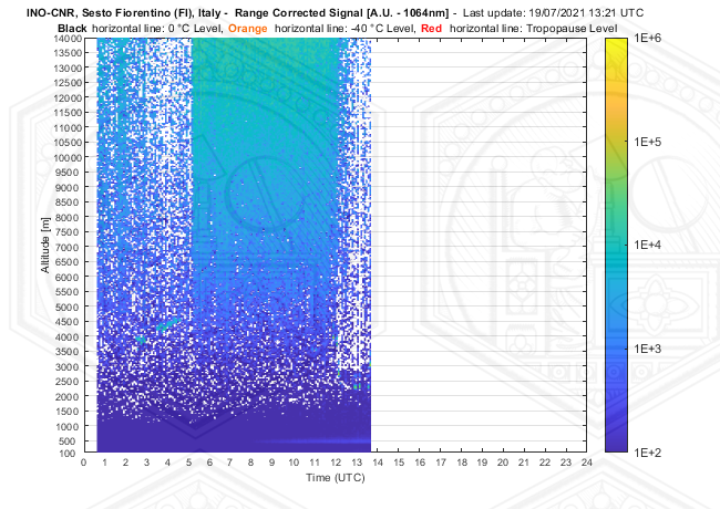
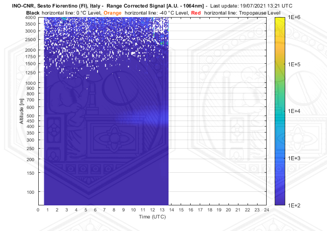
More information from the Infrared (1064 nm) LIDAR channel

The INO LIDAR is equipped with a 1064 nm channel. An Avalanche Photodiode is used as detector. The Infrared channel is more sensitive to aerosols than the green one because the clean-atmosphere contribution to the backscatter is 16 times smaller, in the Infrared. The aerosol backscatter in instead almost the same. Here are the latest 1064 plots for the whole troposphere and the PBL:

whole signal
..PBL


Ordinary Meteo data

The LIDAR station is equipped with a meteo station located 12 m above ground. The station is equipped with Humicap Vaisala (RH), PT100 (T°) and a sonic anemometer Gill 2D. Meteo data are acquired and stored together with the LIDAR data, in order to simplify the successive data-processing and statistical analyses.

Wind direction is particularly important in Florence, since in a typical day local breezes often dominate the PBL dynamics. Westerly breezes bring relatively unpolluted air in from rural aereas above the LIDAR station, while easterly breezes bring polluted air produced in Florence. These signals are often evident in LIDAR signals, especially in anticyclonic summer days; aerosol enhancements are often visible in the LIDAR signal plot when the wind direction is within the  0°-180°N range.


WEBCAMS: A VISUAL CHECK OF THE ATMOSPHERE

The latest image of the sky above INO


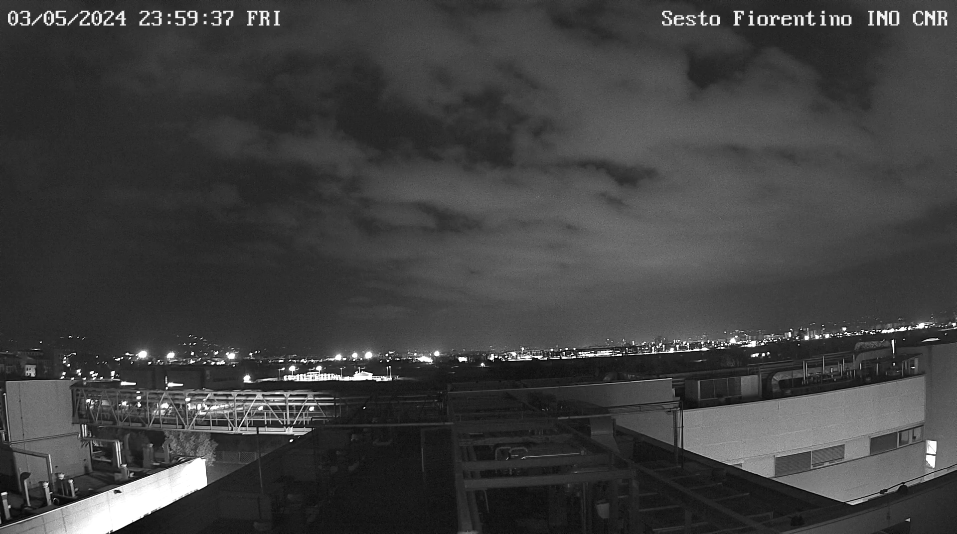
A camera suitable for star-light operation is used to record the state of the sky 24 h/day. It is installed on the INO roof, pointing to the sky. This image is used to monitor the state of the sky, cloud cover and cloud type, 24h/day, with one shot taken in coincidence with every LIDAR measurement.


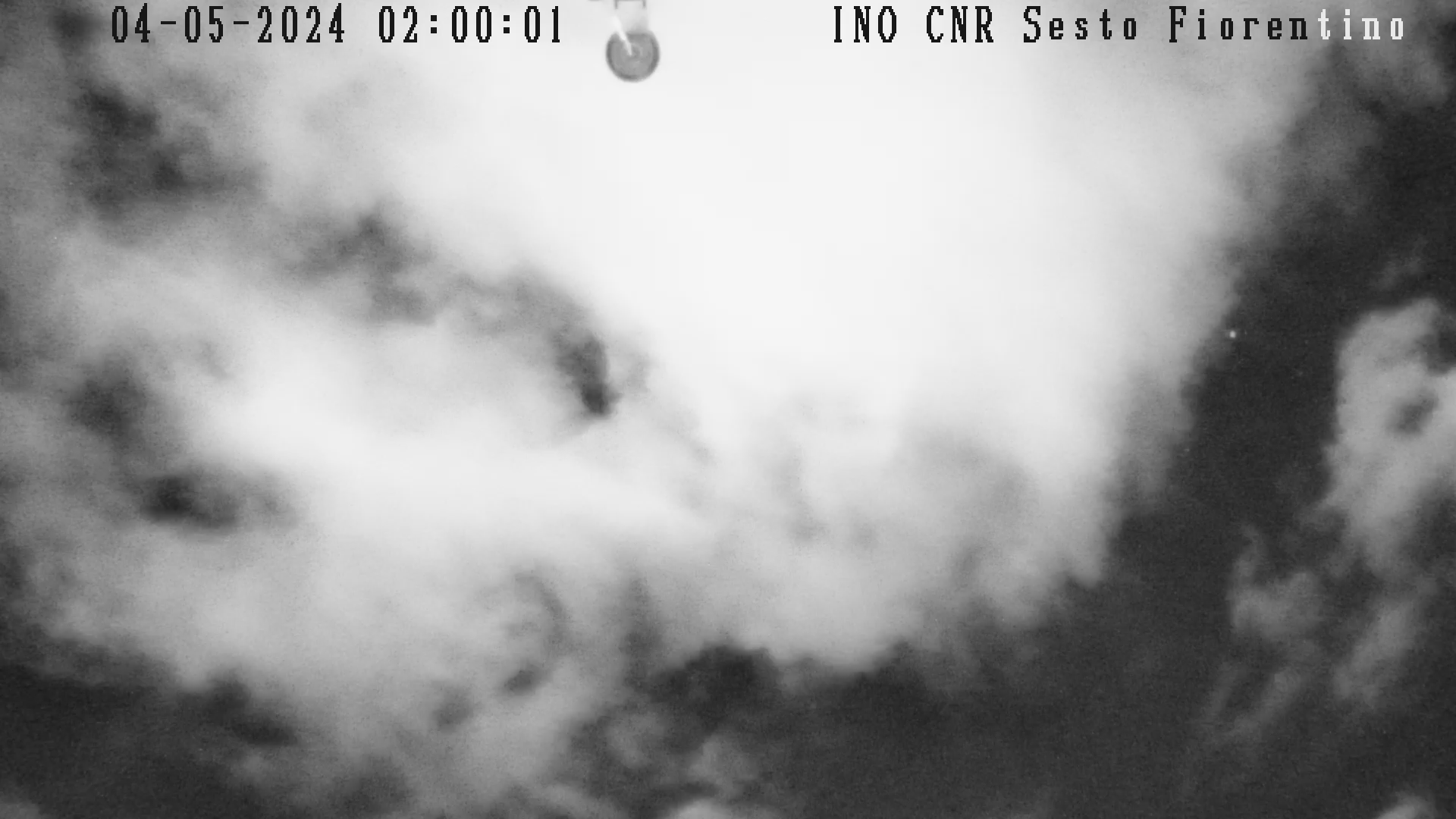
Massimo Del Guasta - National Institute of Optics (INO) - National Research Council       |       Via Madonna del Piano, 10 - 50019 Sesto Fiorentino - Firenze, Italy  |   Tel (office): +39-055-5226423 - Tel (laboratory) +39-055-5226424   |   Email: Massimo Del Guasta  |   Web: www.ino.it  |   sito ottimizzato per una risoluzione minima di 1024x768 e firefox

Locations of visitors to this page